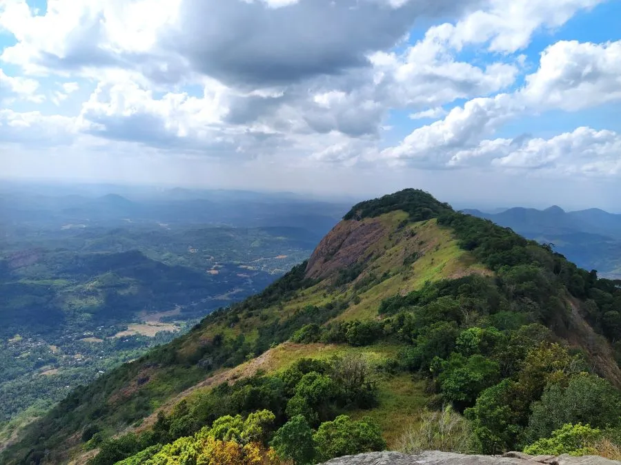
Alagalla Mountain Range is located in Mawanella which is on the borders of the Central and Sabaragamuwa Provinces. Alagalla mountain is surrounded by well-known mountains such as Bathalegala also known as Bible Rock, Uthuwankanda, Devanagala, Ambuluwawa, Knuckles Mountain Range, and Hanthana Mountain Range. Alagalla is a popular hiking destination among local travelers and a huge number of hikers cross this mountain on the Independence Day of Sri Lanka. You can see a clear view of this mountain during the Kandy– Colombo railway journey because the Colombo-Kandy railway line runs at the bottom of the mountain. The elevation of the highest point of Alagalla is 1140m above sea level.
This mountain range also served as a natural defense location for nearly five centuries from 1505 to 1948 against Portuguese, Dutch, and English invasions aimed at the Kandyan Kingdom.

How to get Alagalla Mountain
Since this is located on the borders of the Kandy and Kegalle districts, you can reach there on both sides.
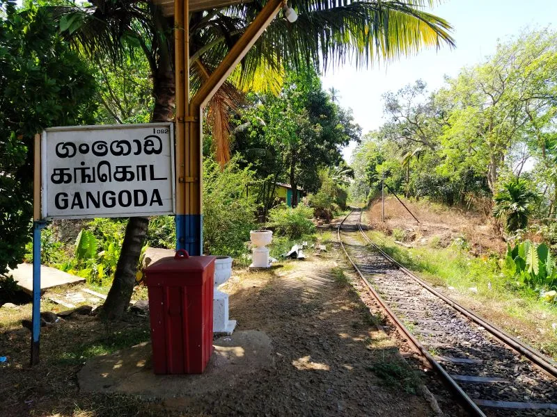
Also, there are three routes to hike the mountain. It is the Ihala Kotte route, Gangoda route, and the Poththapitiya route. Among these routes, the Gangoda route is the longest route. According to your reference, you can choose the best path for your travel.
From Colombo
If you begin your journey in Colombo or on the western side of the country, you can take the Colombo-Kandy train from there and get off at the Ihala Kotte railway station, which is the next station after the well-known Rambukkana Railway station.
If you wish to travel by bus, you can take the Colombo-Kandy bus and get off from Mawanella. Then you should take the Rambukkana bus and get off from Gangoda. Then you can start your hike from there.
From Kandy
If you start your journey in Kandy or the eastern part of the country, the Kandy-Poththapitiya route is the best option. You can hike to the Alagalla from there. However, it is a slightly longer route than the other options.
According to your preference, you can also choose the Gangoda route if you can come to Mawanella.

Hiking Alagalla Mountain
The Alagalla Tea Factory is approximately 3 kilometers walk from the Ihala Kotte Railway Station. Then you must walk through the tea estate to find the small footpath that leads to the mountain. The Poththapitiya and Ihala Kotte routes intersect near the Alagalla Tea Factory. Finally, there is only one route to the summit.
If you choose the Gangoda route for the hike, you must walk about 7km from the Gangoda bus stop to the top of the mountain. This route is considered the longest route, but this is easy to hike because of the stairs.
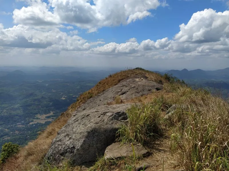
The hike's final stage is challenging and dangerous because, in the later sections, you can see a large slope. Depending on your fitness, the total hiking time can range from 4 to 6 hours.

Things to do in Alagalla
Alagalla is ideal for photographers because of its fantastic view.
You can set up a night camp in the mountain and have a memorable night. Most travelers spend the night in the forest. The main thing to be concerned about is leeches, which spread rapidly during the rainy season. But if you travel during the dry season, you must take enough water because there are not any water resources at the top of the mountain. There is a thick mist at night and in the morning, which can also be a different kind of experience for travelers.
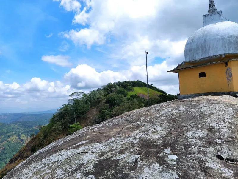
The Alagalla Mountain range is made up of several peaks. The names are not well-known and were chosen by locals. "Kodigala" is a peak with a large flag. "Poojagala" is another side of the mountain range with a Buddhist temple called "Pabbathaaraamaya." Another peak is known as "Katusukenda" which is considered the highest point of the Alagalla mountain range. Anyone can complete all of these sub-peaks in a single day. Climbing the upper part of the Alagalla mountain which is called ‘Katusukenda’ is the best part of hiking. If you like to have an adventuring experience, this is perfect for you because you need to climb up there with a help of a rope.


