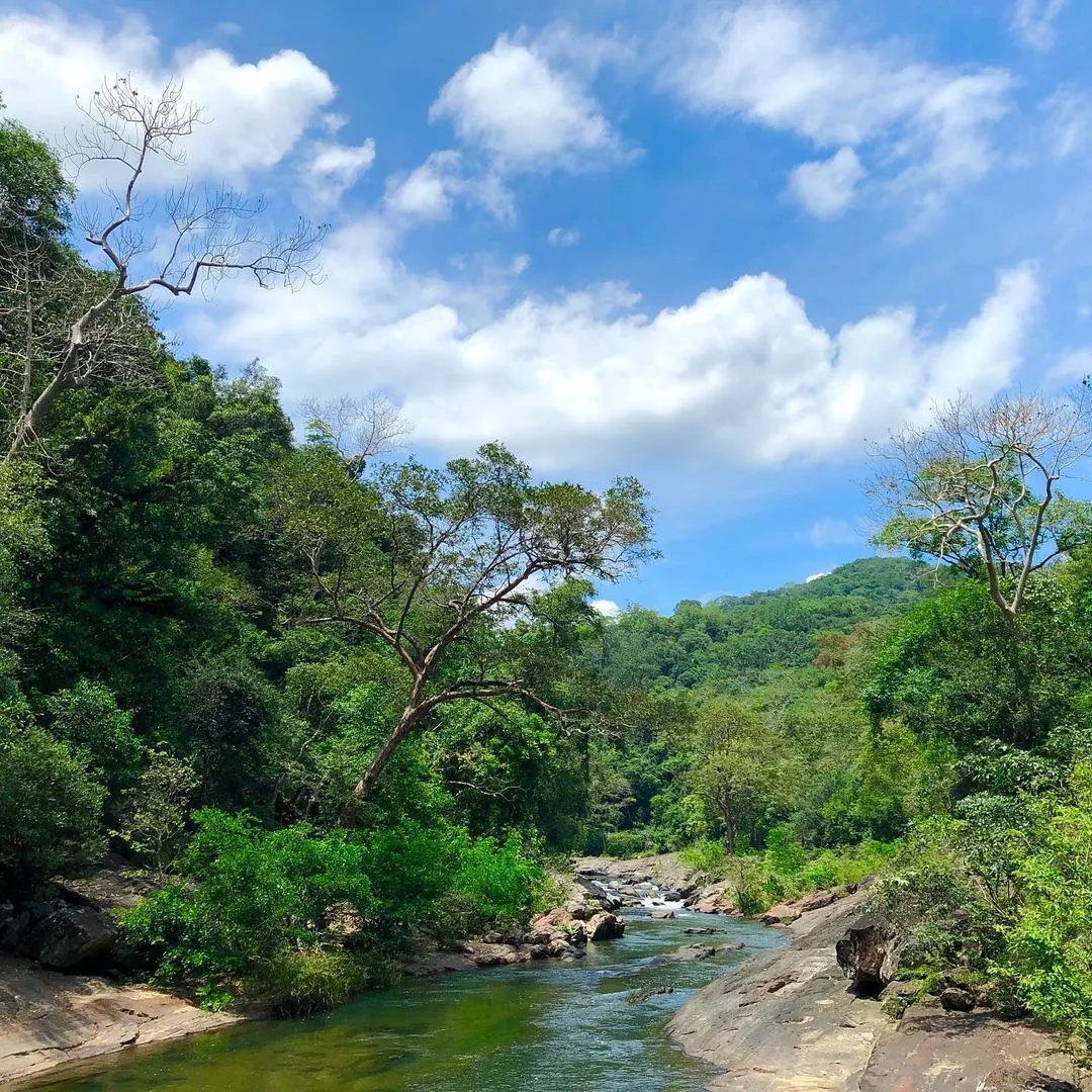
Meemure is a village in Sri Lanka's Central Province, located 324 meters above sea level. The distance between Colombo to Meemure is approximately 175 kilometers. It is situated in the Knuckles Mountain Range, close to the Kandy-Matale district line. The village receives an abundance of water in waterfalls that originate in the Knuckles rain forest.
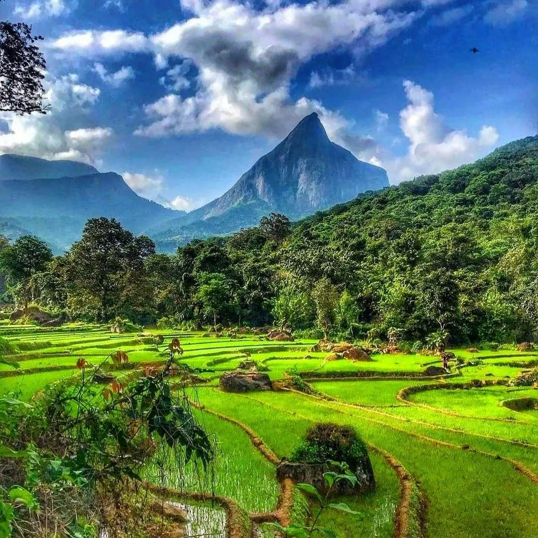
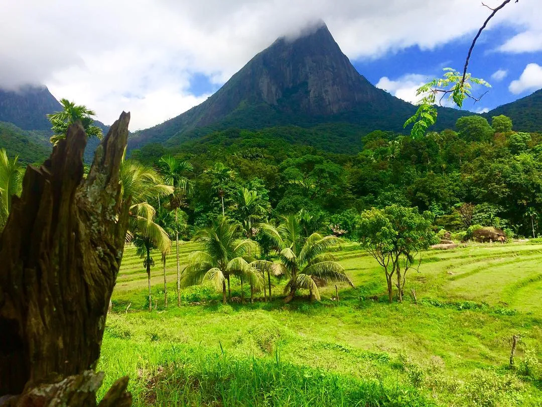
East of the hamlet is the pyramid-shaped Lakegala mountain, while the majestic Knuckle Range dominates the west. The northern boundary of Meemure is a forest that runs to the "Pitawala Pathan" grassland, while the southern border is the Heen River.
How to get to Meemure
The only route to Meemure is via the 'Hunnasgiriya' mountain, part of the Knuckles range and roughly 50 kilometers from Kandy. The trek from Hunnasgiriya to Meemure with a distance of 33-kilometer is challenging, with many tricky areas but breathtaking scenery.
Life in the Meemure
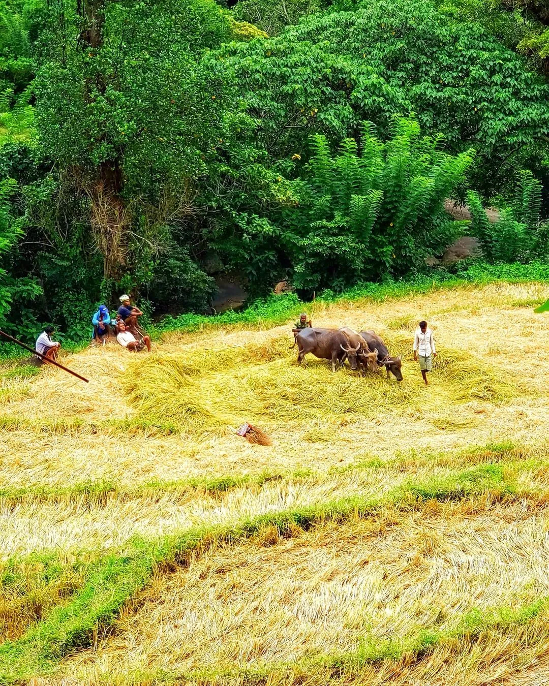
The village has a population of roughly 400 people and 125 families. One of Meemure's significant identities is architecture. The locals construct eco-friendly dwellings out of clay and Illuk (spear grass) that endure three decades. However, the boundary walls composed of quartz are what distinguishes their structures. The main livelihoods of villagers are paddy cultivation, Chena cultivation, and pepper cultivation. Some locals make a living by tending to jaggery palms, yield toddy, and treacle. The community has one small village shop where locals buy day-to-day necessities. There is no cellular coverage in the city. However, there is a CDMA telephone service. There is no direct mail delivery to the village; instead, a local journey to Thapal Junction every day to exchange arriving and departing postal mail with a mail carrier.
Places to visit in Meemure
Lake gala
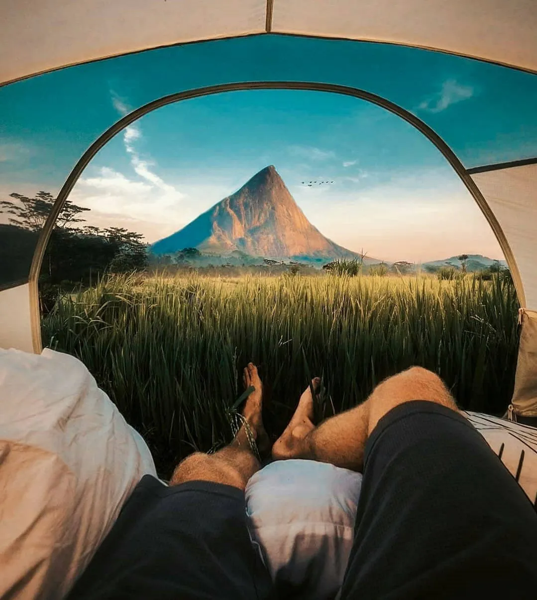
Lakegala is a 1314m tall mysterious-looking pyramid mountain. From the middle of the Meemure village, you can see the triangular-shaped Lakegala mountain. Many unmarked remains, including caves with indications of ancient human inhabitation, may be found on the hill. Nawathna Waterfall, Ravana Falls, and trekking routes in Lakegala's depths are among the other attractions in the Lakegala region. Hiking Lakegala from the Meemure village is a thrilling experience that requires the assistance of a certified solo climbing guide. It's a nearly two-day adventure, so bring whatever you'll need for camping and hiking.
The village of Gala Muduna
This small settlement, located south of Meemure, is home to only 20 people. Gala Maduna village has only one junior school and is mostly unaffected by the outside world. As a result, the peasants only learn until the age of 14. When people become ill, they are transported to the hospital on a sling made of a sack linked to two sticks, and there is no phone coverage at all. The trail to the village is densely forested with Knuckles ecosystem flora and fauna. Gala Muduna, the village's name, derives from its location on a big rock. If you visit Meemure, don't forget to visit this beautiful village.
Heen Ganga
Three main rivers flow through the Meemure region, starting in the Knuckles: Heen Ganga, Hulu Ganga, and Kalu Ganga. Heen Ganga, in particular, rises on the eastern slopes of the Knuckles range, flows approximately 36 kilometers via Corbett gap and Kalupahana, and eventually joins the Mahaweli, Sri Lanka's largest river. Age-old trees and various rocky plates are lying beside the river banks. The Match Box Bridge, on the other hand. A genuine paradise of tinkling waterfalls, caves, and bright wildlife awaits you here. Bulath Happaya, an endemic species of fish, can also be found in this section of the river. Heen Banda, an elderly guy, owns the only house on this tract of land. He enjoys having visitors and enjoys sharing his experiences and life story.
